Geospatial intelligence, our expertise
Geo4i combines the experience of’ image analysts and the geomatics skills
Expertise
Knowledge of expectations with a company operating in the geospatial field.
Knowledge of the business with a team composed mainly of former employees specialized in the military environment.
Excellence
We maximize our decisions and actions with the aim of continuously developing ourselves.
We are also betting a lot on a dynamic of excellence with a success of 100% of our projects.
Respect and Trust
Geo4i is a company founded on the basis of healthy and trusting customer relationships, where we make respect for the protection of the data processed and exchanged our priority.
What disciplines are we experts in? ?
IMINT Trainings – Analysis through image intelligence
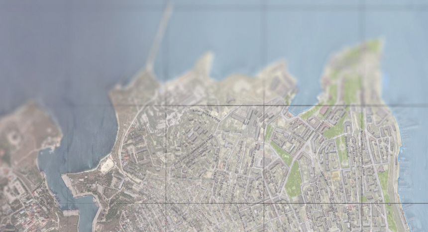
Vector information, the image bears witness to a present or past reality. No matter the area of the globe, the satellite image has the advantage of making it easily accessible.
Misused or taken out of context, it can influence a decision-maker by distorting a situational analysis.
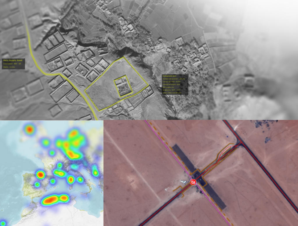
GEOINT – Analysis through geospatial intelligence
Geospatial intelligence makes it possible to correlate information, in space and time in order to deepen the understanding of a phenomenon, of a territory and its challenges.
The exploitation of this geospatial information, always more numerous, represents a major challenge in decision making.

What are our areas of expertise ?

Strategic and geospatial intelligence

Economic intelligence

Change detection

Damage assessment

Monitoring and development of activities and infrastructures

Situation analyzes facilitating decision-making

Direct support to operations (civil, security and military)

Follow-up and understanding of a situation

“We want a future where our services are necessary to support the population from both a civilian and a military point of view.”
Lionel Kerrello, Geo4i CEO

They trusted us